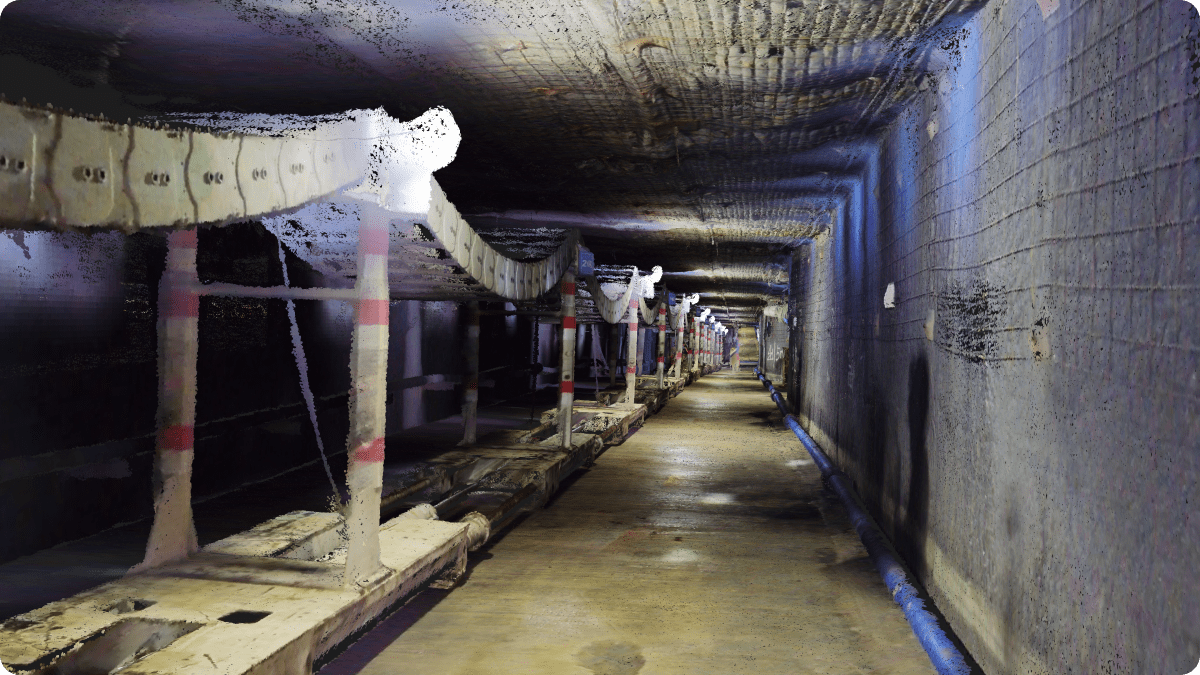
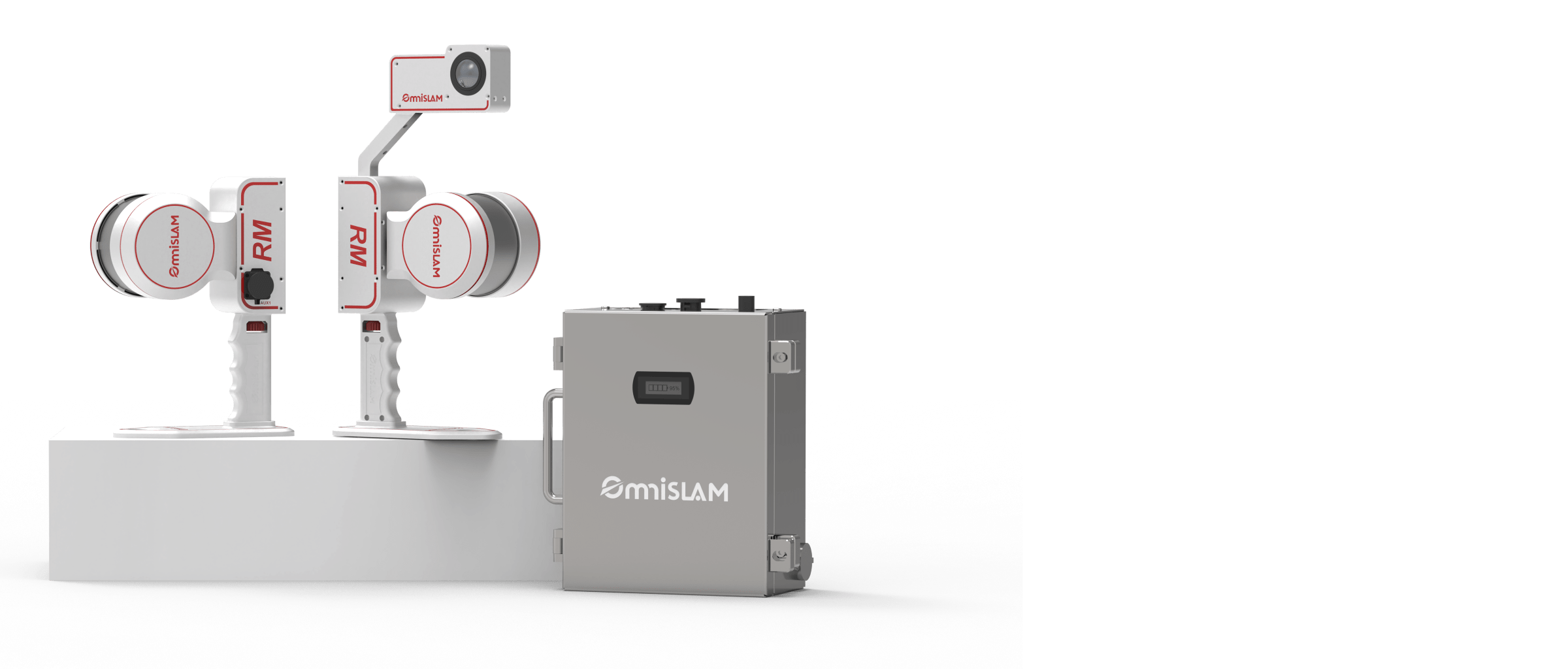
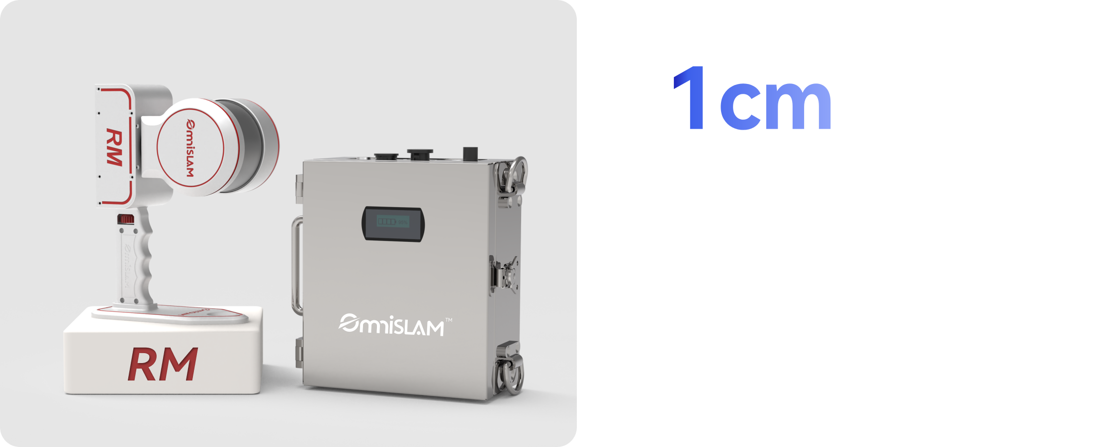
RM | Mine-used Intrinsic Safety (cm)

cm - Level Precision

1 cm
Relative Accuracy

The OmniSLAM RM maintains 1 cm accuracy even in complex underground environments, delivering engineering-grade data for critical tasks such as roadway acceptance, transforming explosion-proof scanning from simple visualization into precise, actionable measurement.

From Geometry-Only
to True-Color
— Even Underground

OmniSLAM RM overcomes low-light underground challenges, combining precise geometry with true-color data to create detailed 3D scenes - ending "geometry without color" and providing accurate, actionable data for risk assessment, inspections and digital twins.

No Environmental Limitations.
100% Point Cloud Capture.

Whether scanning curved roadways or high vertical shafts, the RM ensures complete and precise point cloud capture with consistent accuracy across challenging enviroments.

Mine Tunnel 3DGS Modeling

The automatically generated, high-quality 3DGS models faithfully preserve point cloud geometry and true-color textures, delivering real-time, high-fidelity 3D rendering of tunnels, equipment, and rock surfaces. Even in low-light underground conditions, they reveal fine visual details and natural light-shadow transitions.

One Continuous Scan

RM can complete continuous tunnel scanning of up to 3 kilometers in a single run - without segmentation - achieving a true "one-pass" operational breakthrough while meeting high-precision measurement requirements.

Easy Scanning of Gob Area

The operator can use the extension rod with the RM to scan the Gob area from a safe distance.

RM Camera-Free Version

Available

Explosion-Proof RM is is purpose-built for applications that prioritize high-precision geometric measurement over color imagery.

RM

32

Laser Channels

120 m

Measure Range

640,000

Points per Second

RM-300

32

Laser Channels

300 m

Measure Range

640,000

Points per Second