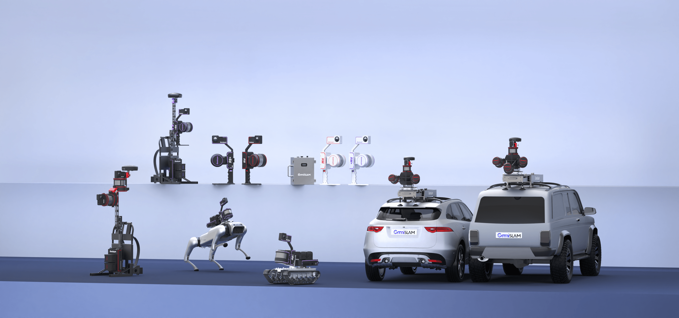


Explore OmniSLAM
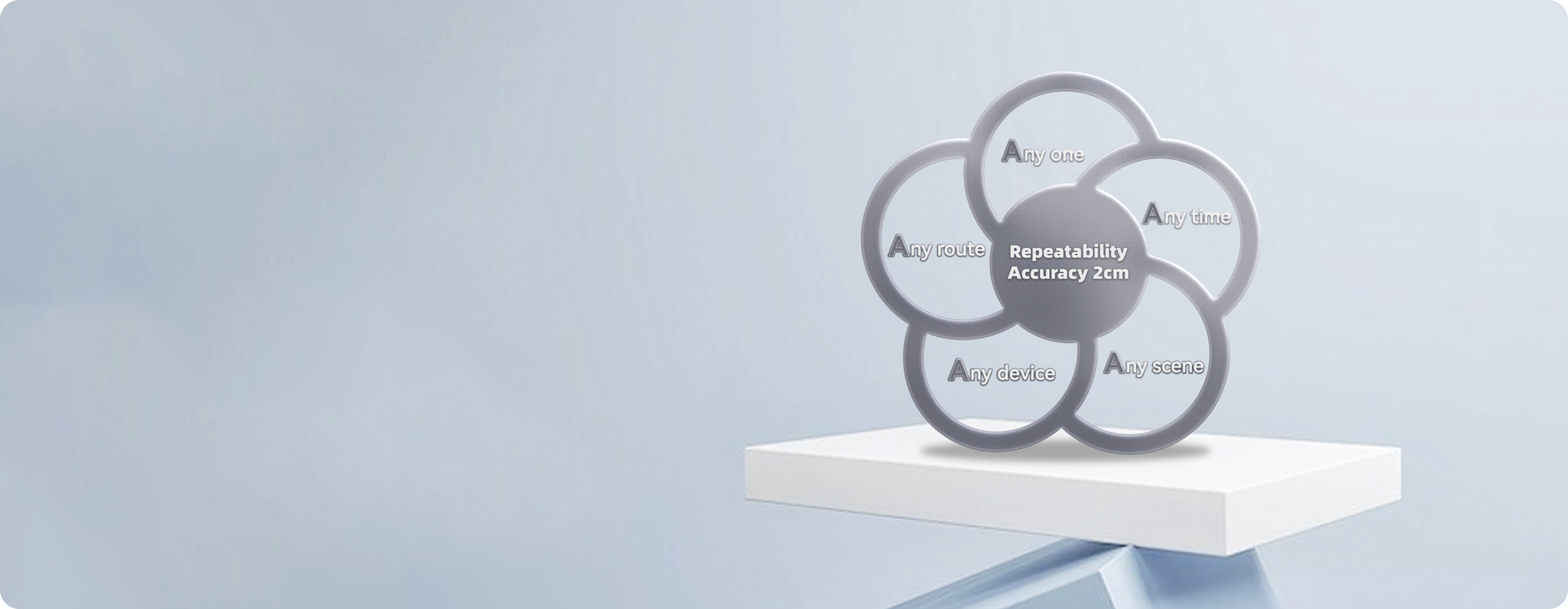
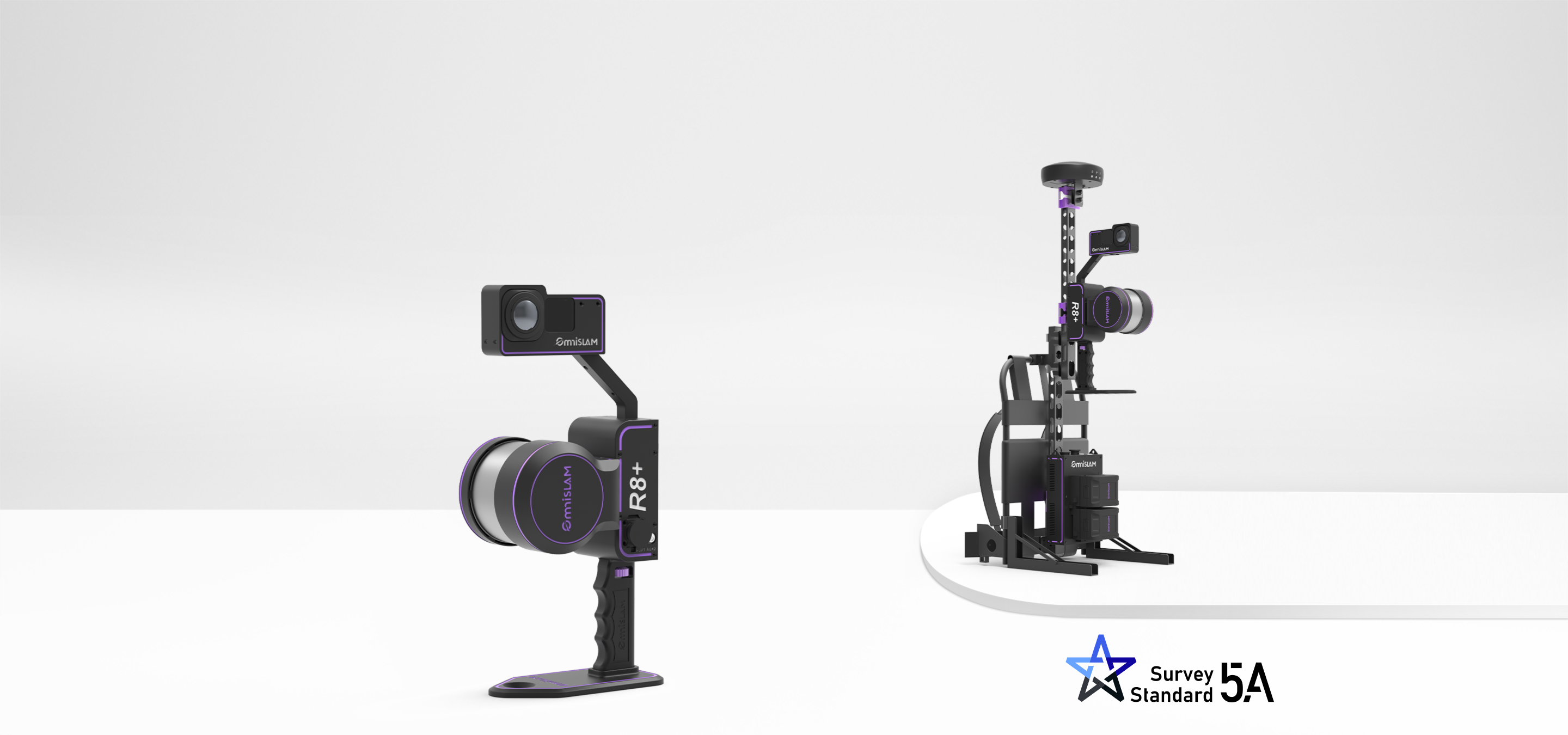
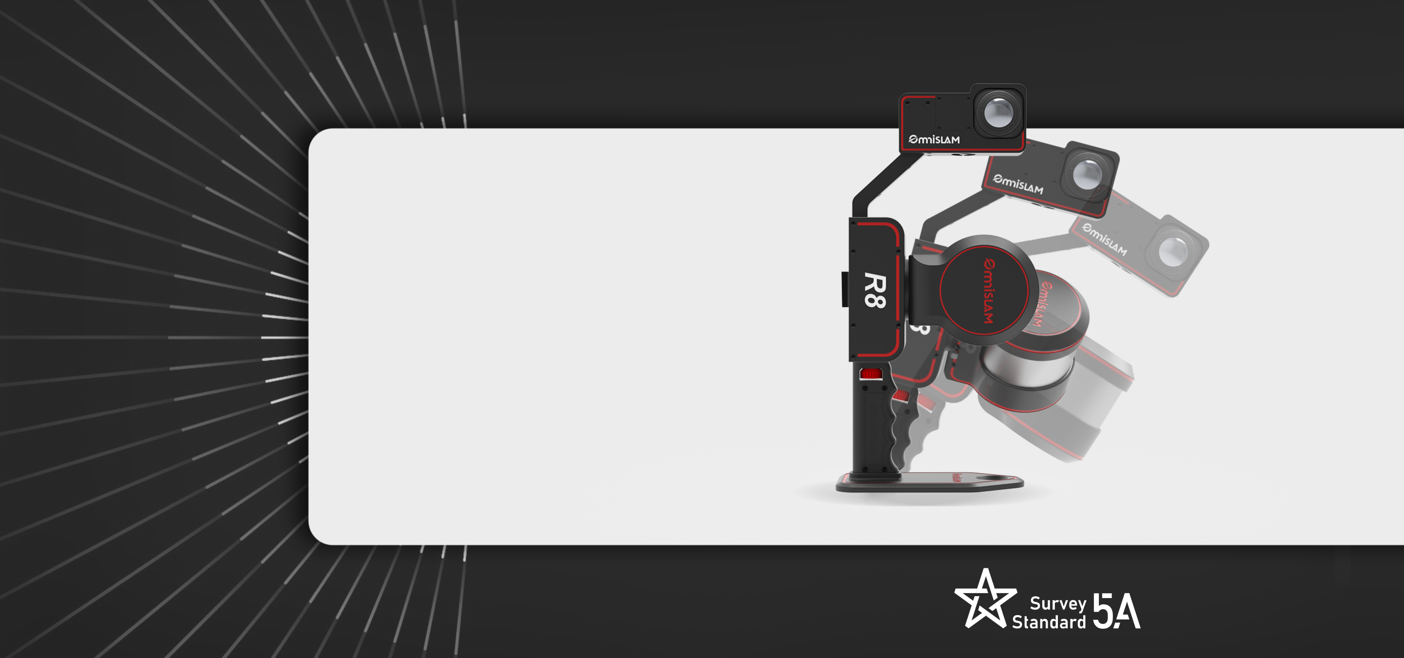
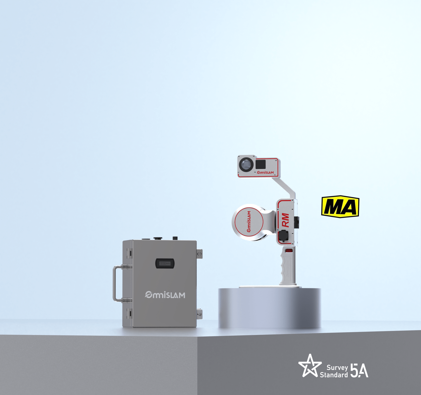
5A-Criterion of Surveying and Mapping
All products meet the strict 5A criteria for surveying and mapping. Point-cloud repeatable accuracy in WGS84 or local coordinates is within 2 cm across repeated scans.
Learn More
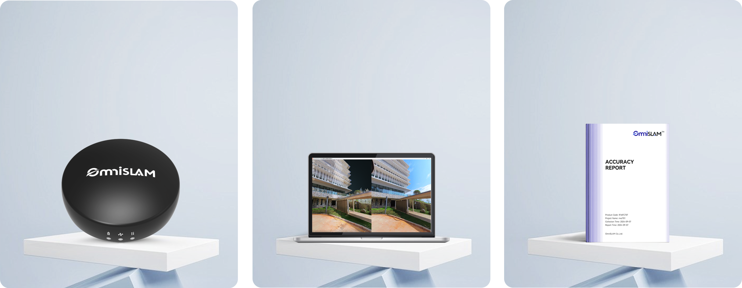

Explore OmniSLAM
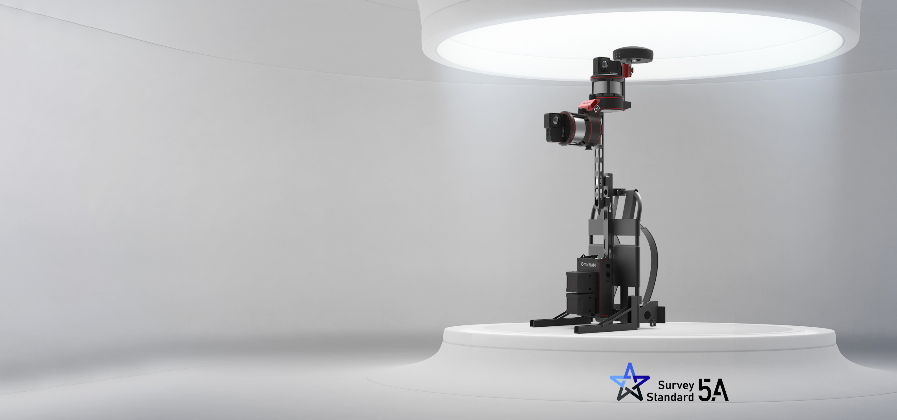
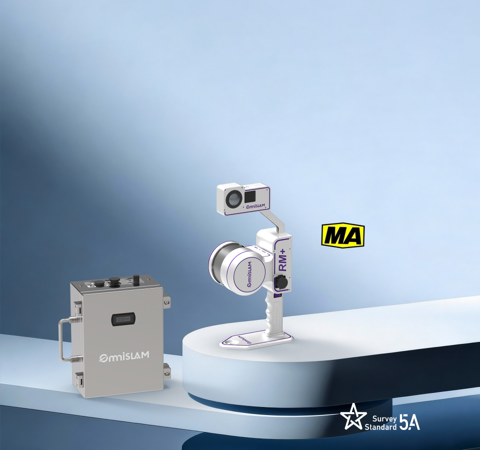
5A-Criterion of Surveying and Mapping
All products meet the strict 5A criteria for surveying and mapping. Point-cloud repeatable accuracy in WGS84 or local coordinates is within 2 cm across repeated scans.
Learn More