
Promote the Smart Forestry
Solution Advantages
Point Cloud Fusion of
Scanner and Drone
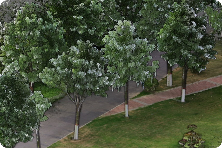
Since LiDAR cannot penetrate forests, the tree canopy point cloud obtained by the drone and the tree point cloud collected by the "R8+" are fused. The fused point clouds are completely aligned without misalignment or stratification, and finally complete and clear 3D forest data is acquired.
Panoramic Images Assist
in Identifying Tree Species
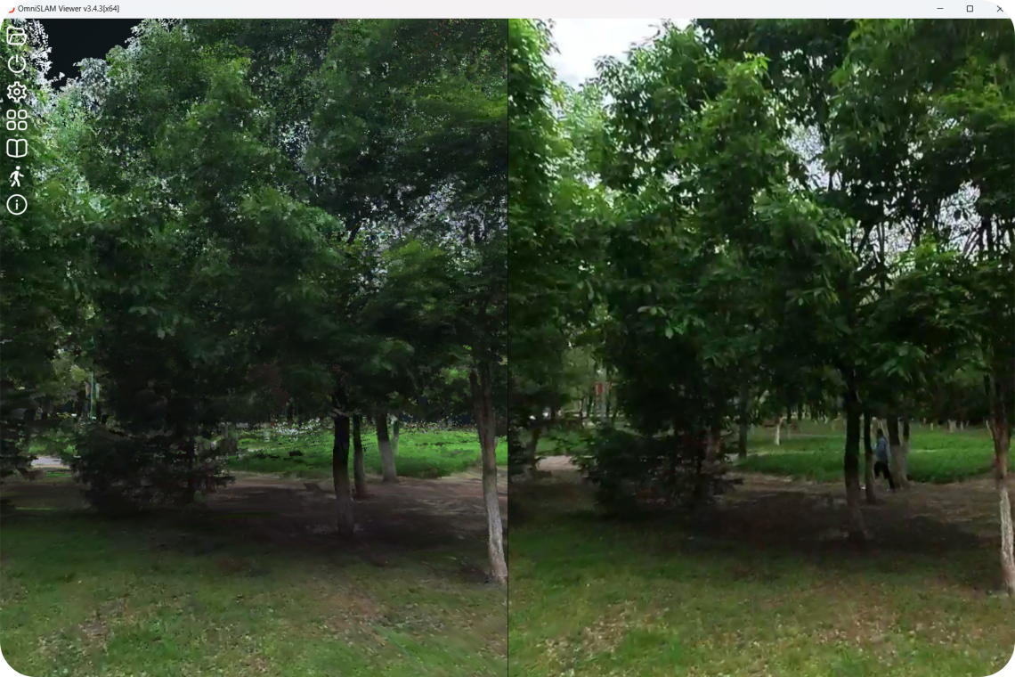
Panoramic images obtained from the understory can assist operators in accurately identifying tree species. The point cloud and panoramic images are displayed on two screens to quickly locate the tree position, further improving production efficiency.
Accurate and reliable tree data
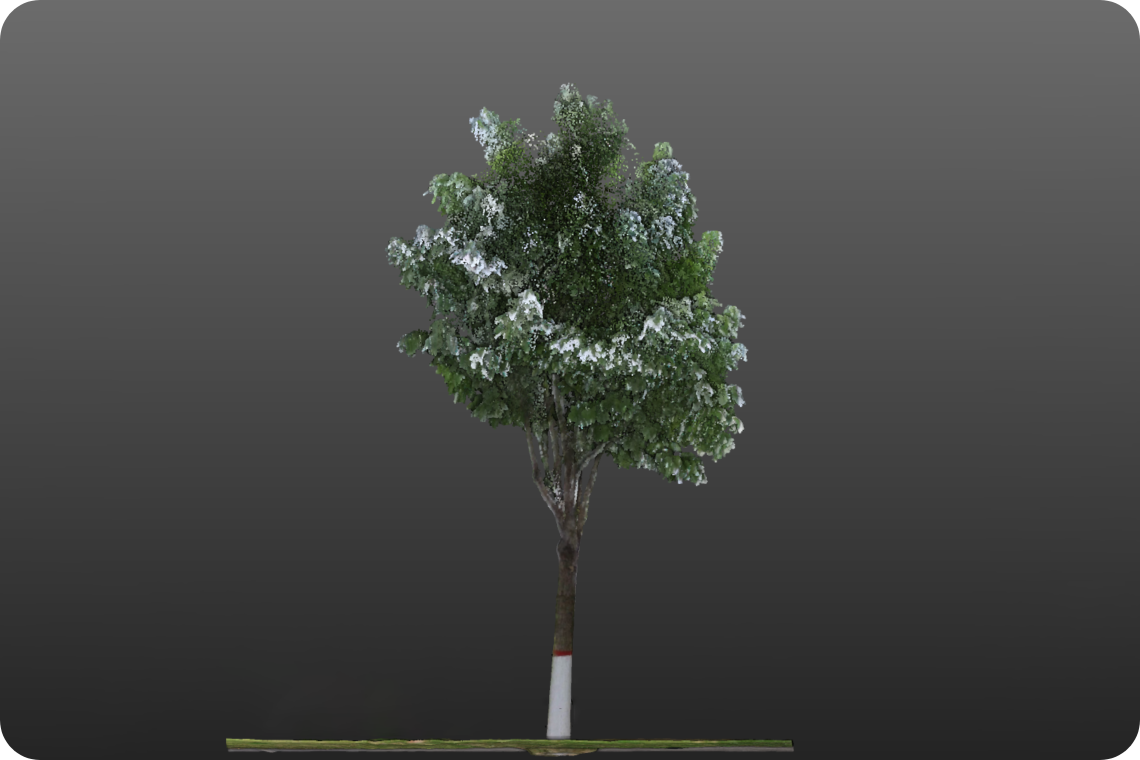
“R8+” produces an extremely thin point cloud with 2 mm thickness, acquiring accurate tree height, breast diameter, crown width and other tree data. WGS84 absolute coordinate accuracy is 3 cm, the accurate tree position is offered.
