
Assist the Digital & Intelligent Development of
Petroleum & Petrochemicals
Solutions
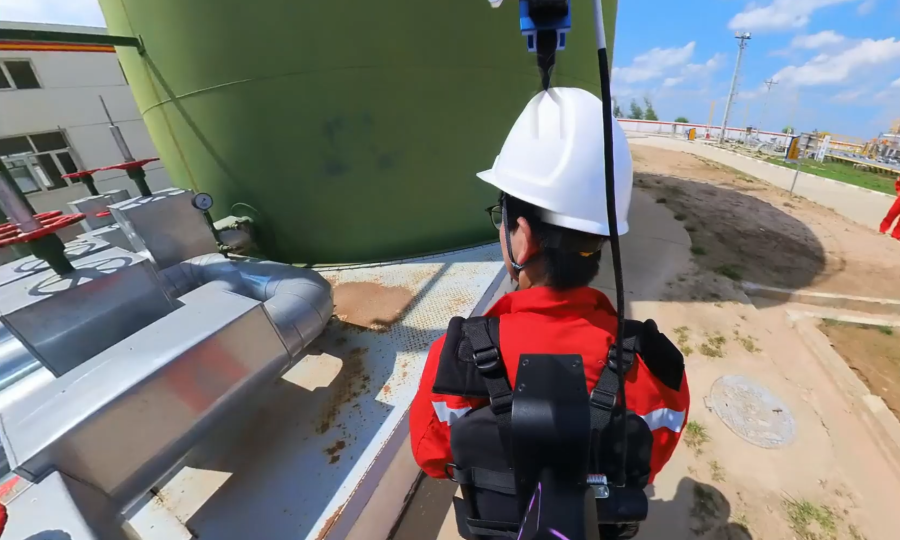
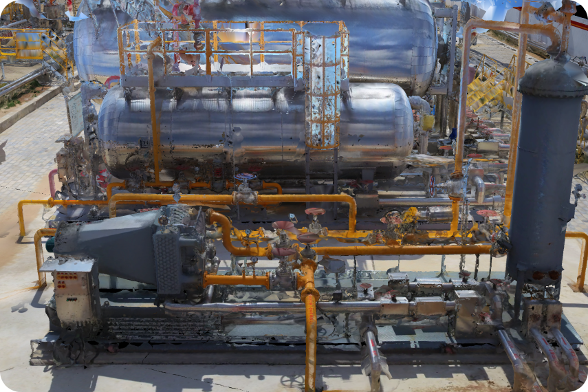
On-Site Scanning
OmniSLAM “R8+” can efficiently scan petroleum pipelines, fine structures, factory areas and other ground scenes. It offers real-time point cloud display, enabling timely scanning-strategy adjustment, improving data integrity and preventing rework.
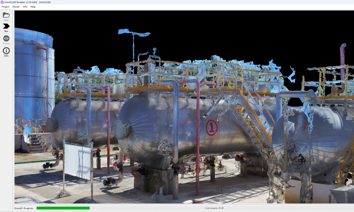
Processing
OmniSLAM Mapper generates Color Point Clouds(mm),OmniSLAM Modeler generates 3D Mesh Models.
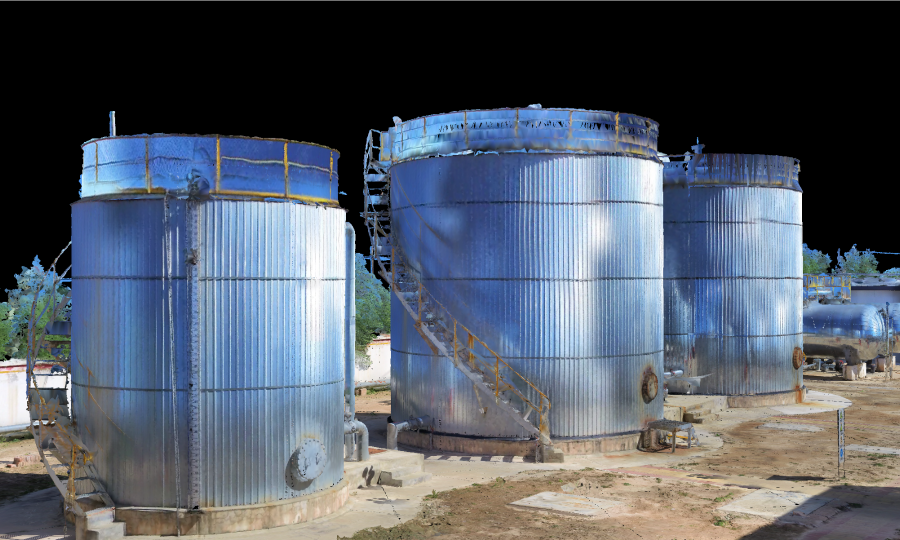
Applying
Perform alternative analysis, route planning, facility maintenance, etc. based on 3D Mesh models.


Solution Advantages
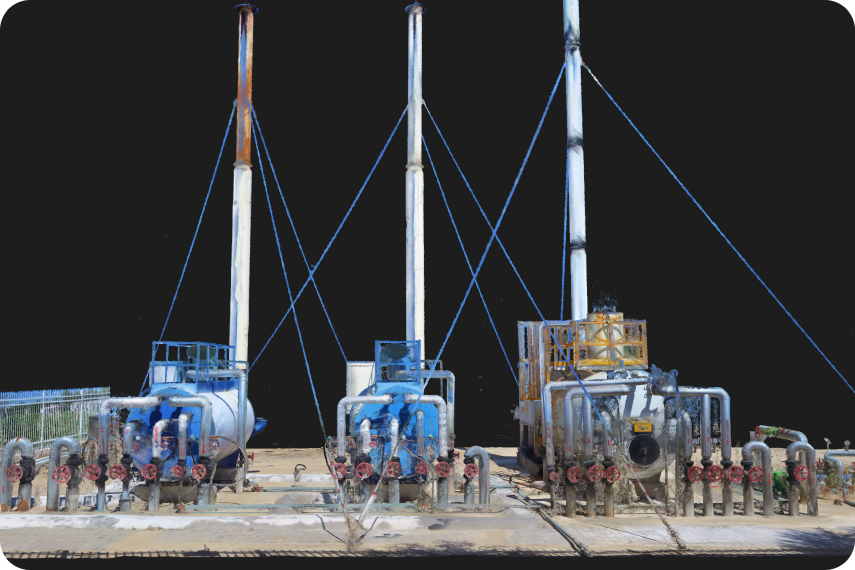
Clear and Correct 3D Models
"R8+" can acquire high-precision facility point cloud models and 3D mesh models. The "R8+" that produces clear, complete, delicate and dense point cloud models can completely replace the Terrestrial Laser Scanner(TLS).
Application and Scanning Flexibility
Compared with the Terrestrial Laser Scanner(TLS), the "R8+" can scan narrow and low spaces in petroleum and petrochemical plants from multiple angles and in multiple methods, and can view all facility data in the plant at the same time. Both scanning operations and data applications reflect extremely high flexibility and convenience.

Profitable ROI
During the project cycle of site selection, planning, and construction, there is no need to frequently travel back and forth to the project site. Instead, you can browse the entire facility in the office based on the model data of the factory, saving costs.
