Power System Digitalization
Challenges
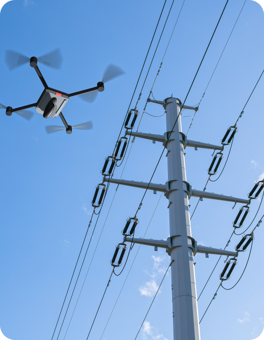
Difficulty in acquiring data in Flight Restricted Zones

Low data
acquisition efficiency
Unsatisfied data accuracy
Solution Advantages
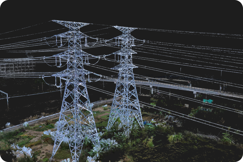
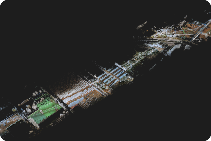
After the electric towers point cloud is spliced, the high-voltage line overlaps completely
After the point cloud of multiple electric towers in the no-fly zone is spliced in WGS84, the high-voltage line overlaps completely, and there will be no misalignment of the high-voltage line.
A single scan can finish a 10 km Collecting Work
A single scan can finish long distance collecting operation, improving the efficiency, reducing the costs, and assisting the projects to have smooth progress.
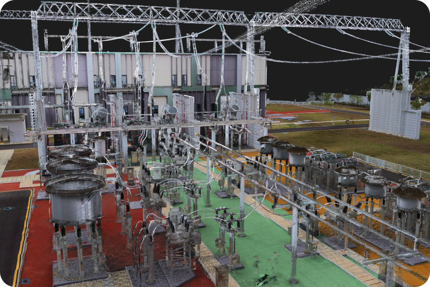
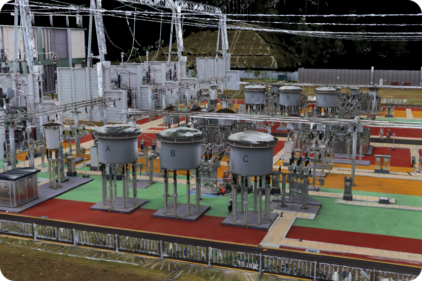
Clear and lifelike component details
“R8+” acquires the 2 mm thickness point cloud, reach to 25,000 pts/m² density, power facilities components are real and clear.
Improving generating efficiency of models
“R8+” generates Mesh models automatically, replaces most of the manual modeling, makes the progress of collecting and modeling much faster.